
DS-Alert System: Web map: Climate suitability and high-risk trapping maps for border surveillance
DS-Alert System: Web map: Climate suitability and high-risk trapping maps for border surveillance
Description
A tool to help with planning and monitoring post-border surveillance using automated fruit fly traps. The system includes an interactive map updated weekly to reflect:
- the climate suitability for popoulation growth for exotic fruit flies,
- the location of high-risk sites (fruit and vegetable distribution centres and air and sea ports), and
- the location of deployed traps capable of detecting exotic fruit flies and any counts of presence
Clicking on the map will display a graph of the annual climate suitability for Bactrocera dorsalis and Bactrocera zonata. This graph is to assist survey managers to plan the deployment window for border biosecurity surveillance.
The trap network displayed here includes trapping for post-border pest management of medfly (Ceratitis capitata), but only reports the detected presence of Bactrocera species. Because of the trade sensitivity of detections of exotic organisms, access to this system is restricted to Government Officials. To register, please contact us here for a password to access the interactive page.
Background
Surveillance at high-risk sites is a critical component in a biosecurity framework. Alongside inspection of passenger luggage and imported materials and packaging, border surveillance is the frontline of biosecurity. Border surveillance mostly consists of deploying and servicing traps at or near high-risk sites (mostly around ports and devanning sites, Fig 1). Border surveillance is costly, mainly due to the human cost of servicing traps. One of the biggest efficiencies we can make with surveillance trapping is to reduce the time during which the trap network is being maintained (Kean & Stringer 2019). In locations where there is distinct climate seasonality, it may be possible to pause trapping for a group of organisms during those times of the year when conditions are unsuitable for them to be trapped. Because climates vary across space, we need to consider the climate at each location that we wish to deploy border surveillance traps.
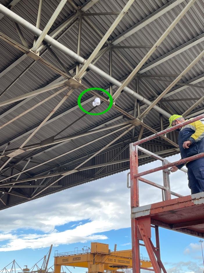
Figure 1: Automatic trap deployed at a shipping port. Lure is designed to attract Bactrocera species.
Efficient Border Surveillance Solution
To assist border surveillance teams to plan their trap networks we created a web map that combines the location of sea and air ports with climate suitability patterns for Bactrocera zonata and Bactrocera dorsalis throughout the world. The graphs presented at each of the ports show the weekly Growth Index (GIw) for the two fruit fly species, based on 10-year climatology.
During periods where the GIw is zero, an accidental introduction of a fruit fly carries a low risk of growth or establishment of the species. However, when the GIw is positive, the risk of an accidental introduction is proportional to the GIw value: a high GIw poses a high risk of population growth and establishment.
Pricing and Access
On-going access is available on a subscription basis. The system can be made available using an application programming interface so that it can be made available on a corporate intranet. Please contact us here to discuss your needs.
References
Kean, J. M., & Stringer, L. D. (2019). Optimising the seasonal deployment of surveillance traps for detection of incipient pest invasions. Crop Protection, 123, 36-44.
Keywords
FF-IPM Developed, Tools, CLIMEX, CLimate-suitability, Trapping, Border surveillance, High-risk sites
Additional information
| Language | English |
|---|---|
| Person Responsible | Darren Kriticos, Karol Kozyra and Lauren Glina |
| Document(s) |


Reviews
There are no reviews yet.